
Soaring High: A Guide to India’s Drone Flying Regulations
Revolutionizing Surveying with Drones and GIS: A Game-Changer for Drone Surveying Industries – MachOne Advisors Soaring High: A Guide to India’s Drone Flying Regulations India’s
Revolutionizing Surveying with Drones and GIS: A Game-Changer for Drone Surveying Industries – MachOne Advisors Soaring High: A Guide to India’s Drone Flying Regulations India’s

Revolutionizing Surveying with Drones and GIS: A Game-Changer for Drone Surveying Industries – MachOne Advisors GIS and Property Tax Survey in India: A Digital Revolution

Revolutionizing Surveying with Drones and GIS: A Game-Changer for Drone Surveying Industries – MachOne Advisors Drone Regulations Around the World: A Global Landscape Drones, also
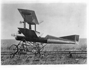
Revolutionizing Surveying with Drones and GIS: A Game-Changer for Drone Surveying Industries – MachOne Advisors History of Drones in Warfare Introduction: The history of drones

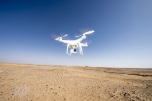
Revolutionizing Surveying with Drones and GIS: A Game-Changer for Drone Surveying Industries – MachOne Advisors The Drone Industry in India: A 2024 Overview Introduction: The

Revolutionizing Surveying with Drones and GIS: A Game-Changer for Drone Surveying Industries – MachOne Industries Introduction to Drone Swarms in Modern Warfare The battlefield is
Revolutionizing Surveying with Drones and GIS: A Game-Changer for Drone Surveying Industries – MachOne Industries Drone, Drone Survey, and GIS In today’s rapidly evolving technological

Unveiling the Power of GIS in Modern Surveying Practices In the ever-evolving landscape of technological advancements, the seamless integration of Geographic Information Systems (GIS) and

Unveiling the Power of GIS in Modern Surveying Practices Unlocking the Skies: How Drones are Revolutionizing Land Surveying Introduction:Hey there, fellow explorers of the digital

Drones For Powerline Inspection Using drones for inspecting power lines and transmission towers reduce the risk of injury. Drones make the work safer, more efficient
