Skip to content
Home » Blogs » Drone, Drone Survey, and GIS

Drone, Drone Survey, and GIS

Revolutionizing Surveying with Drones and GIS: A Game-Changer for Drone Surveying Industries – MachOne Industries

Drone, Drone Survey, and GIS

In today’s rapidly evolving technological landscape, industries are constantly seeking innovative solutions to streamline processes, improve efficiency, and enhance productivity. One such groundbreaking advancement comes in the form of drones, coupled with Geographic Information Systems (GIS), revolutionizing the field of surveying. At MachOne Industries, we’re at the forefront of this transformation, harnessing the power of drones and GIS to deliver unparalleled services to our clients across India.

But first, let’s unravel the essence of drones, drone surveys, and GIS.

What is Drone?

Drones, also known as Unmanned Aerial Vehicles (UAVs), are autonomous or remotely piloted aircraft that have soared beyond their military origins to become indispensable tools across various industries. These agile aerial devices are equipped with advanced sensors, cameras, and GPS capabilities, enabling them to capture high-resolution images, collect data, and execute precise maneuvers with remarkable efficiency.

A person in a safety vest operating a drone near a wind turbine under a cloudy sky.

What is Drone Survey?

Drone surveying involves the utilization of drones to conduct aerial surveys and inspections across diverse landscapes. By leveraging state-of-the-art imaging technologies, drones can capture detailed aerial imagery and data, facilitating comprehensive analysis and mapping of terrain, structures, and assets. This method offers significant advantages over traditional surveying techniques, such as enhanced speed, accuracy, and accessibility to remote or hazardous areas.

Three construction workers in safety vests and helmets, reviewing plans on a tablet near a construction site

What is GIS?

Geographic Information System (GIS) is a powerful software framework that enables the capture, storage, analysis, and visualization of spatial data. By integrating geographical information with attribute data, GIS provides valuable insights into spatial relationships, patterns, and trends. This technology facilitates informed decision-making, resource management, and planning across a myriad of sectors, ranging from urban planning and environmental conservation to logistics and infrastructure development.

How Drones and GIS are Changing the Landscape of the Survey Industry

A 3D model of a green, hilly terrain with a winding river flowing through it.

The synergy between drones and GIS has catalyzed a paradigm shift in the surveying industry, offering transformative benefits that redefine traditional methodologies. Here’s how:

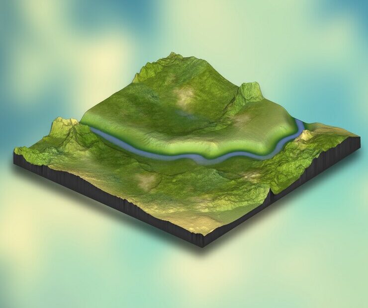
1. Enhanced Data Quality and Accuracy: Drones equipped with advanced sensors and cameras capture high-resolution imagery and geospatial data with unparalleled precision. This enables MachOne Industries to generate detailed 3D models, orthomosaics, and point clouds, empowering our clients with accurate spatial information for informed decision-making.

2. Cost-Effectiveness: Traditional surveying methods often entail significant costs associated with labor, equipment, and time-intensive fieldwork. In contrast, drone-based surveys are inherently more cost-effective, requiring fewer resources and minimizing operational expenses. This translates into substantial cost savings for our clients without compromising on the quality or scope of deliverables.

3. Time Efficiency: Time is of the essence in today’s fast-paced business environment. Drone surveys expedite the data collection process by rapidly covering vast areas in a fraction of the time required by conventional methods. This accelerated workflow enables MachOne Industries to deliver timely results, facilitating agile decision-making and project management.

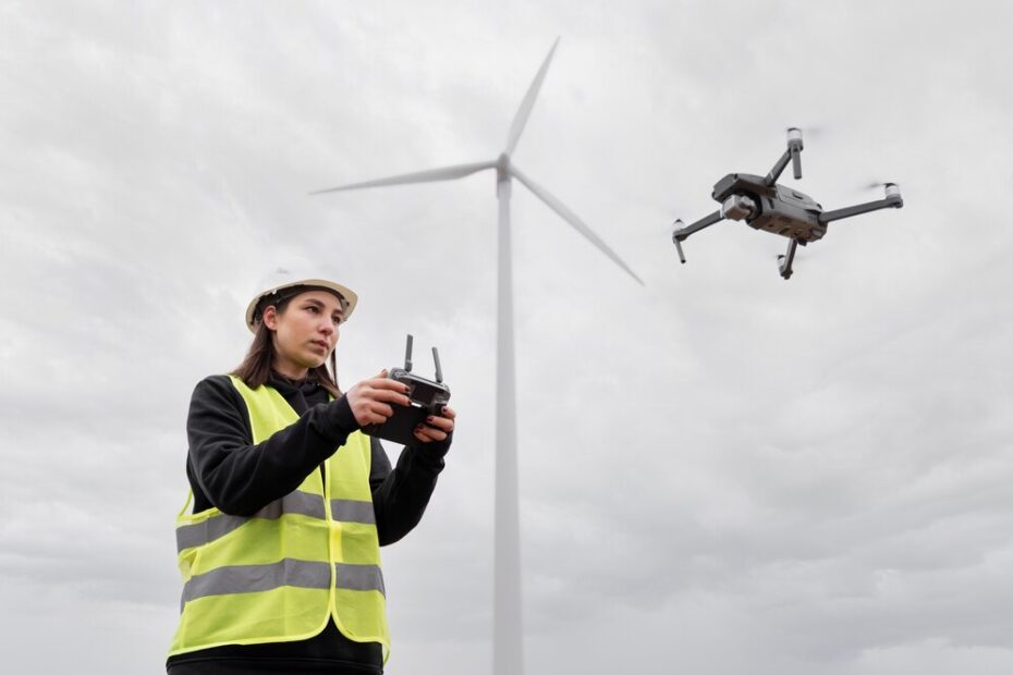
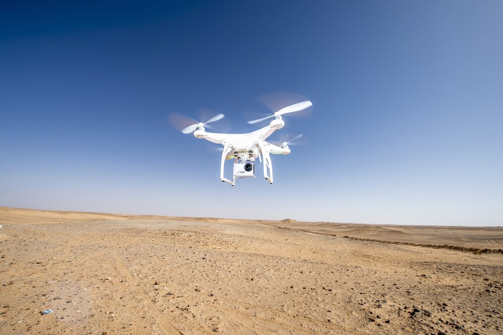
4. Accessibility to Remote and Hazardous Environments: Drones excel in accessing remote, inaccessible, or hazardous environments that pose logistical challenges or safety risks to surveyors. Whether it’s rugged terrains, dense forests, or infrastructure assets at height, drones provide a safe and efficient means of data collection, eliminating the need for manual intervention and mitigating occupational hazards.

In conclusion, the convergence of drones and GIS represents a watershed moment in the surveying industry, offering unprecedented capabilities and efficiencies that transcend traditional boundaries. At MachOne Industries, we’re committed to harnessing these cutting-edge technologies to deliver superior surveying solutions that empower our clients with actionable insights, cost savings, and operational excellence.

Experience the future of surveying with MachOne Industries – where innovation takes flight, and precision meets performance. Contact us today to unlock the full potential of drone-based surveying and GIS services tailored to your specific needs.


Remember, at MachOne Industries, we don’t just survey landscapes – we elevate possibilities.

Summary
Drone, Drone Survey, and GIS
Article Name
Drone, Drone Survey, and GIS
Description
In today's rapidly evolving technological landscape, industries are constantly seeking innovative solutions to streamline processes, improve efficiency, and enhance productivity. One such groundbreaking advancement comes in the form of drones, coupled with Geographic Information Systems (GIS), revolutionizing the field of surveying. At MachOne Industries, we're at the forefront of this transformation, harnessing the power of drones and GIS to deliver unparalleled services to our clients across India.
Author
Publisher Name
MachOne Industries
Publisher Logo

Leave a Reply

Your email address will not be published. Required fields are marked *