All the information you need. In the formats you want.
Drone Data Capture
We use unmanned aerial vehicles equipped with sensors to collect high-resolution images and geospatial data of a designated area. These drones can swiftly and accurately survey large tracts of land, providing valuable information for mapping, terrain analysis, and construction planning. The data obtained aids in creating detailed and up-to-date maps, enhancing the efficiency and precision of land surveying processes.
Drone Data Processing
This process includes stitching together images to create high-resolution maps, generating 3D models, and extracting relevant geospatial information. By employing techniques like photogrammetry and remote sensing, drone data processing enhances the accuracy and efficiency of surveying tasks, providing valuable insights for various industries such as construction, agriculture, and environmental monitoring.
Geographic Information System (GIS)
GIS stands for Geographic Information System. It is a technology that captures, stores, analyzes, and manages spatial or geographic data. GIS integrates various types of information, such as maps, satellite imagery, and tabular data, allowing users to visualize, interpret, and understand patterns and relationships within geographic areas.
We bring our expertise to multiple AEC sectors, developing the industry's future and redefining what is possible, one project at a time.
Drone Surveying, Mapping & Inspections
We capture thousands of overlapping images that are then geo-rectified & stitched together through photogrammetry software's. These high definition Orth mosaics that are generated are then used to map down relevant information.
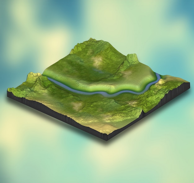
LAR - Land Analysis Report
We extract maximum data from the survey and deliver expert consultations through our proprietary LAR.
These include extensive measurement, project plan, operational data, terrain & water shed analysis.
Geographic information system (GIS)
A geographic information system is a type of database containing geographic data, combined with software tools for managing, analyzing, and visualizing those data.